


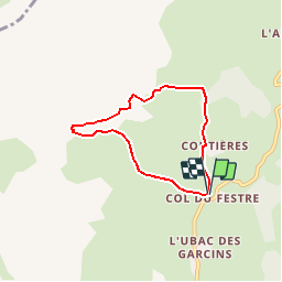


8.5 km | 15.9 km-effort

Les Hautes Alpes à découvrir ! GUIDE+


FREE GPS app for hiking
 SityTrail
IGN / Geographical institutes
SityTrail World
The world is yours!
Trail Walking of 5.5 km to be discovered at Provence-Alpes-Côte d'Azur, Hautes-Alpes, Le Dévoluy. This trail is proposed by Camping Les Rives du Lac.
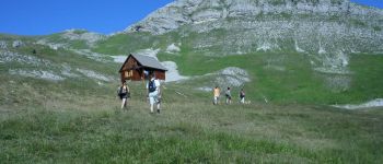
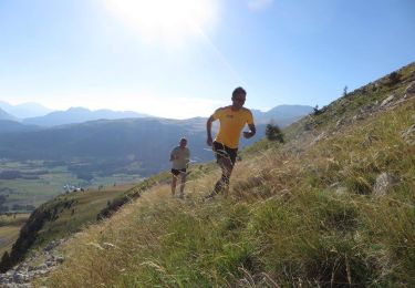
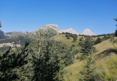
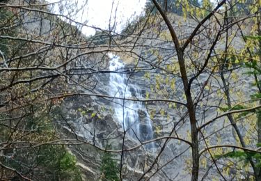
"The Col du Festre is the boundary between Buëch and Dévoluy and a major climate barrier between southern Alps and northern Alps." Beautiful panorama on the Dévoluy plateau. From the cabin of Rama, you can admire the cascade of Saute Aure (at the beginning of the season). It is not unusual to see several griffon vultures hunt for a sheep carcass. Drinks and local products at the Maison du Col du Festre. "


Walking

Walking

Walking
Running

Mountain bike

Walking
Walking
Walking
Walking
petite balade très facile mais très sympathique.
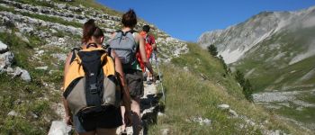
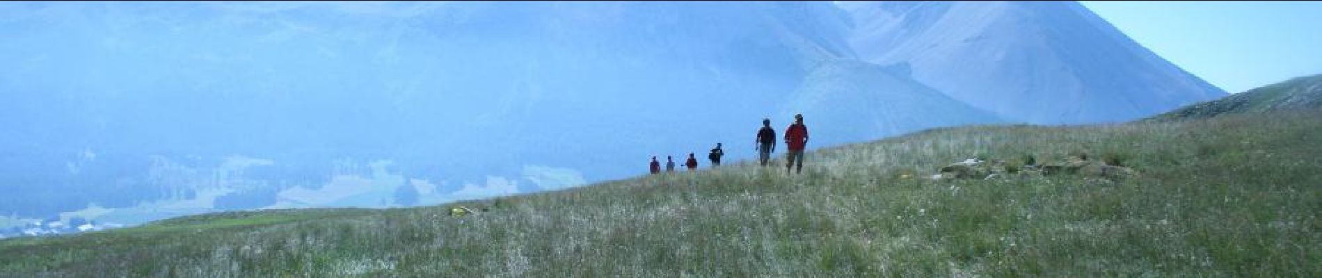
Great views over Dévoluy, nice alpine feel at moderate height, not much climbing. Kids were very excited about catching grasshoppers. Careful at the Cabane Rama, this appears to be private (although no sign), the owner immediately started shouting at us when we wanted to rest a bit in the shade. Very unfriendly, better stay clear.